DroneDeploy
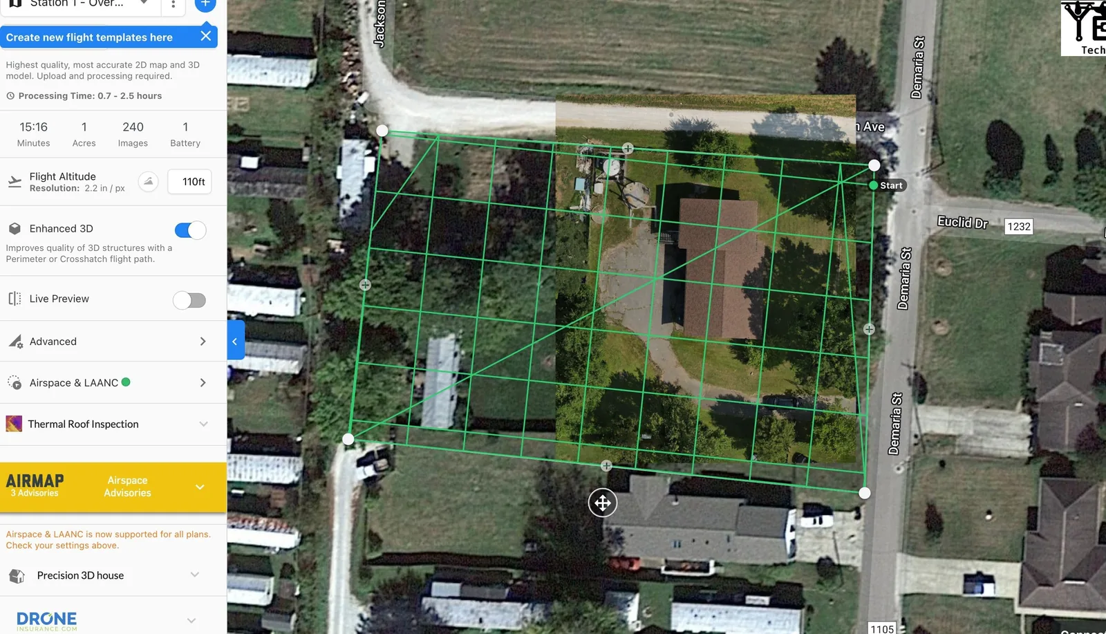
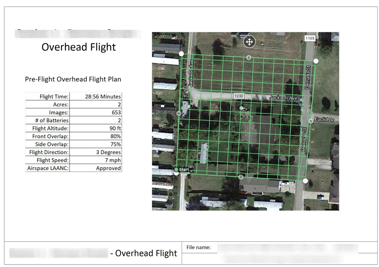
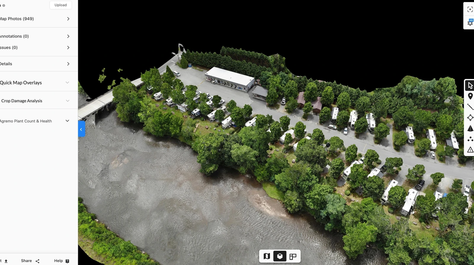
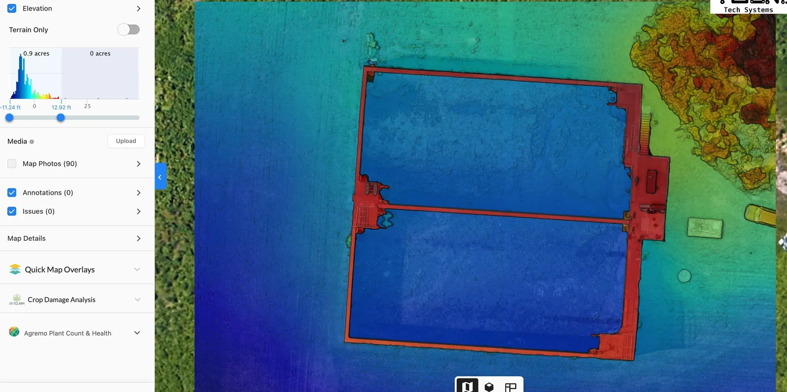
We use current drone software management to bring the data together and to assist in building the reports a survey needs. DroneDeploy works with our aircraft to help with FAA authorization, flight planning and reporting.
Pre-flight FAA authorization
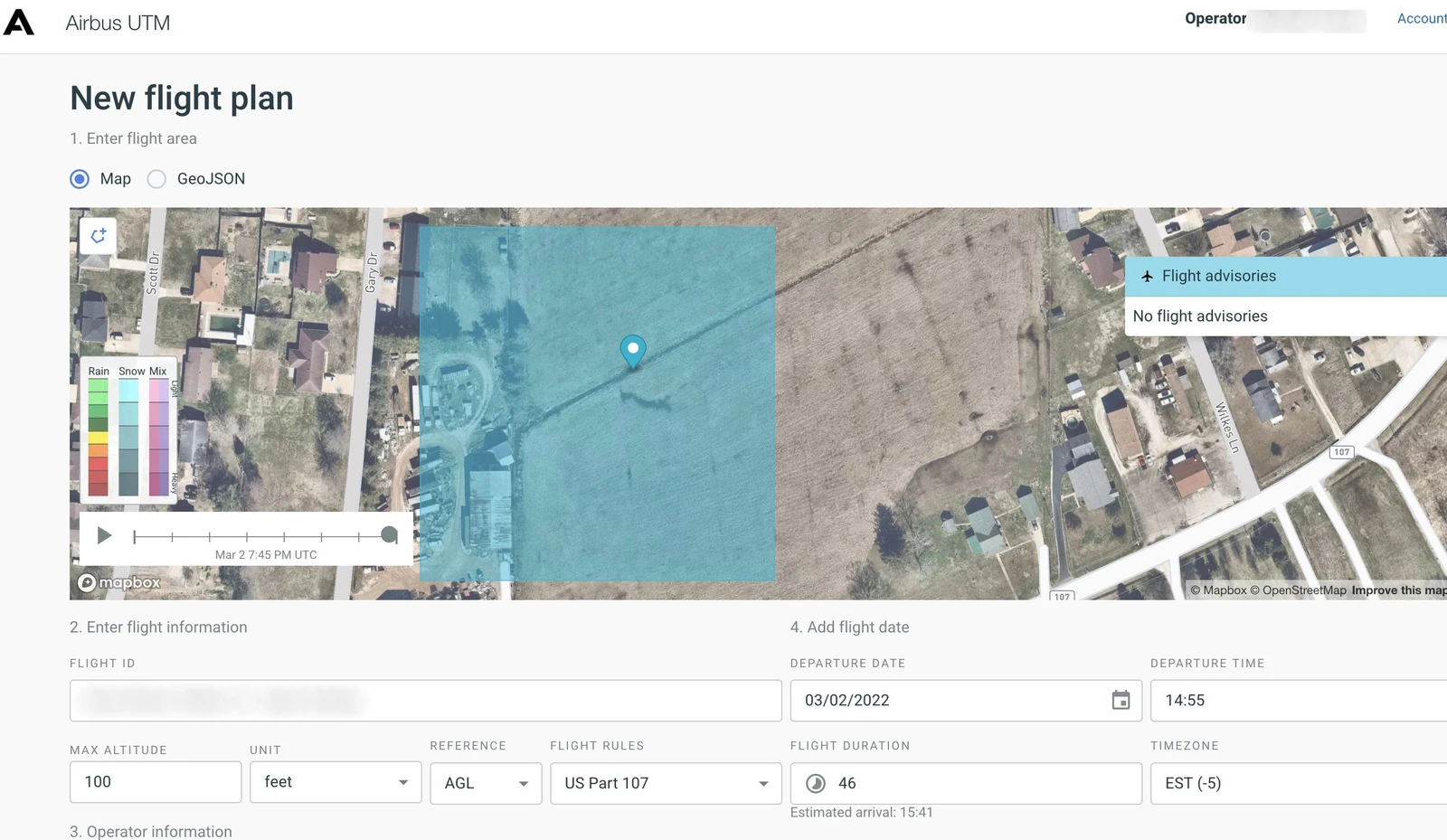
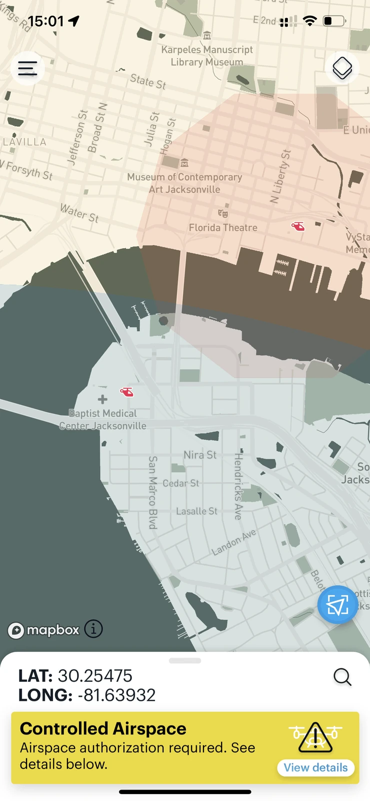
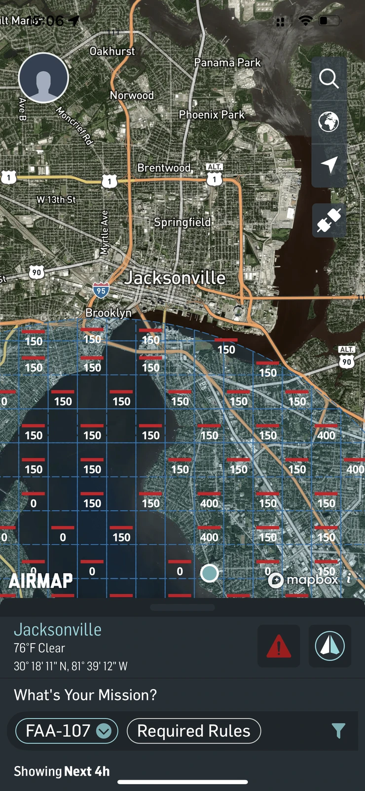
Before anything flies, the airspace is checked and, where it is controlled, authorization is requested and granted. B4UFLY and AirMap are used to confirm what applies at the site, and the pre-flight report records what was checked.
UAV survey reports
Our drone survey reports are tailored to each customer’s requirements. Whether you request an agricultural survey or a commercial property survey, the report is specific to the survey requested. We will work with you to get the best report the data can support.
We are devoted to our customers and work to make sure every need is met, on time and correctly.