UAV industrial site survey
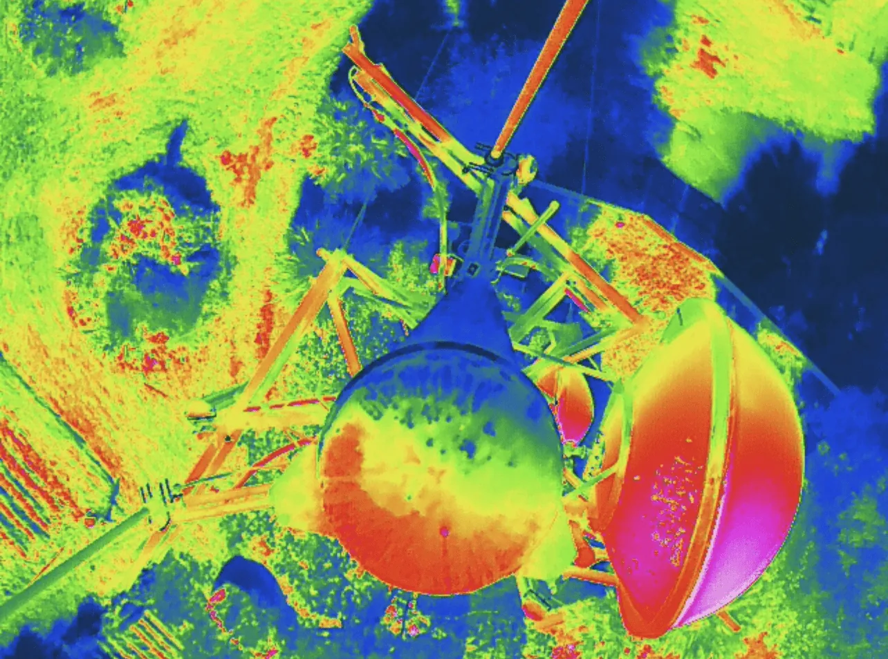
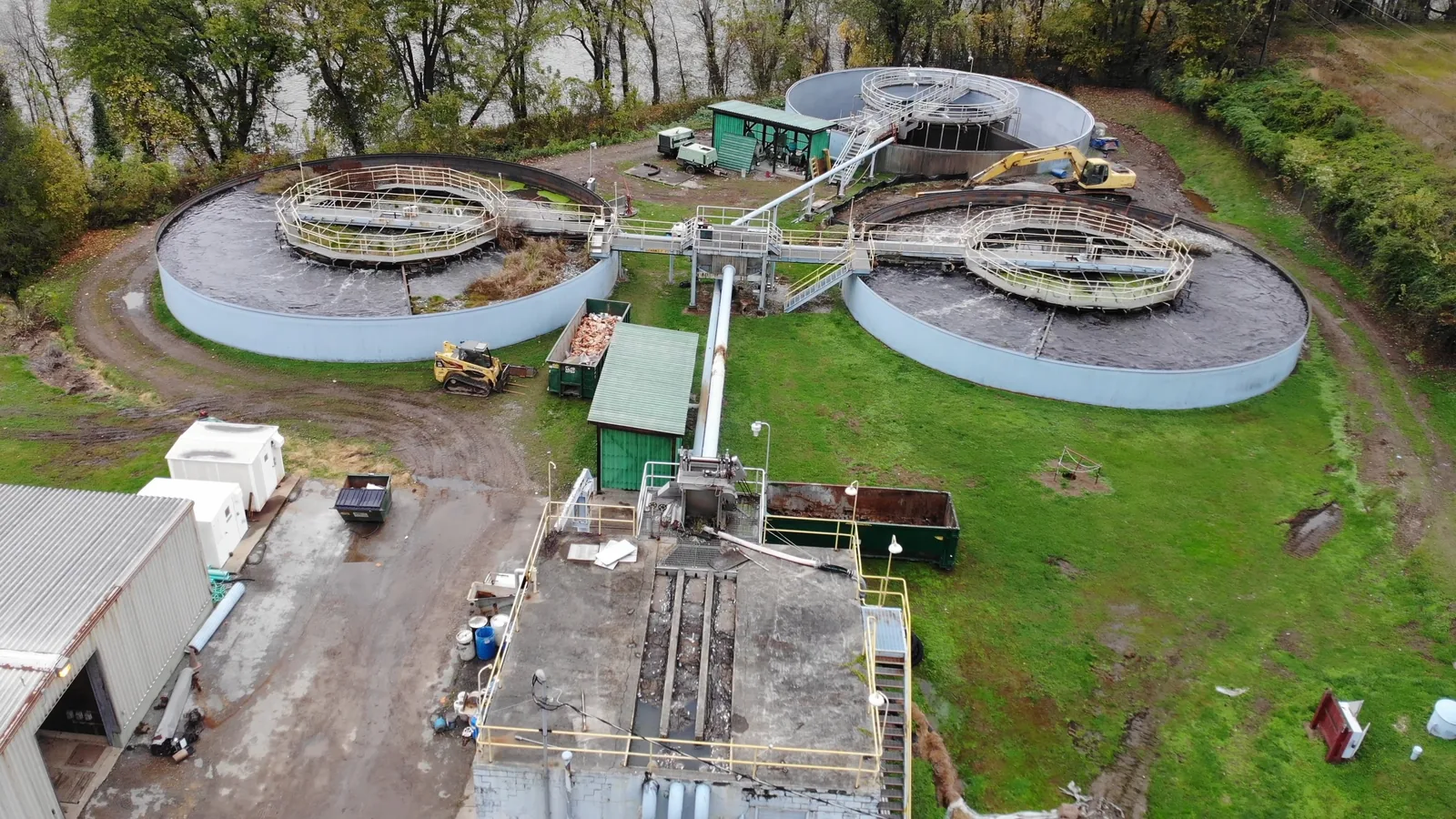
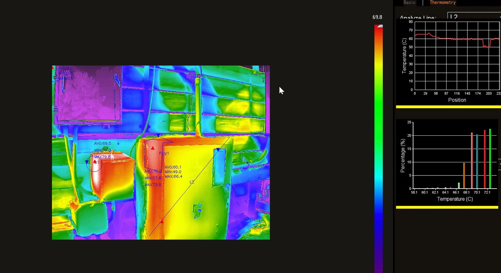
Thermal and high-resolution imagery to support industrial and manufacturing site assessments, including utility inspections and antenna inspections. We also carry out environmental drone analysis, capturing air quality and gas measurements across the site during the flight.
Because the sensor payload logs continuously, an industrial survey returns more than photographs: the environmental conditions at the time of capture are recorded alongside the imagery, which matters when a reading is later disputed.
See the UAV attached sensor device for exactly what is captured on each flight.