UAV aerial land survey
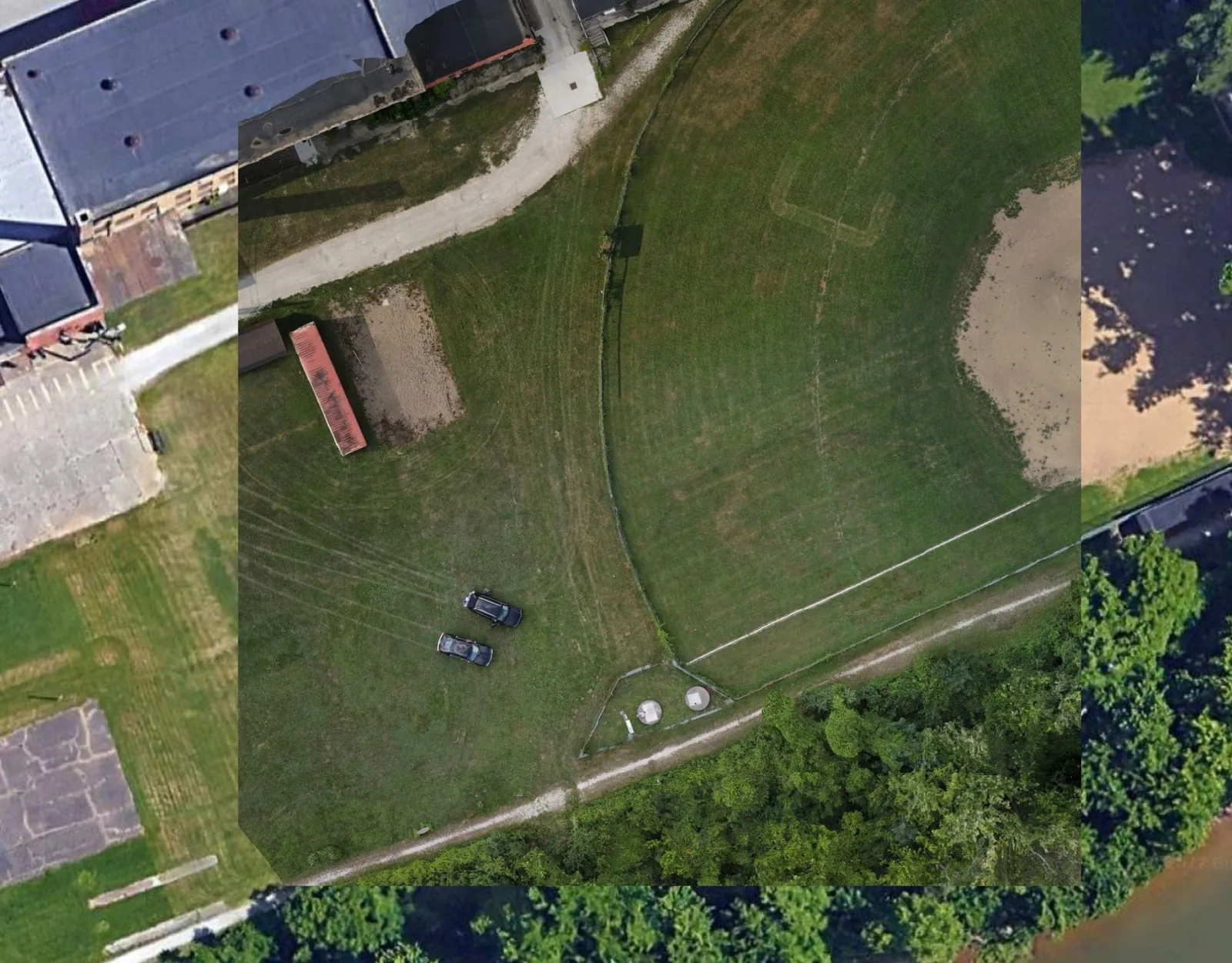
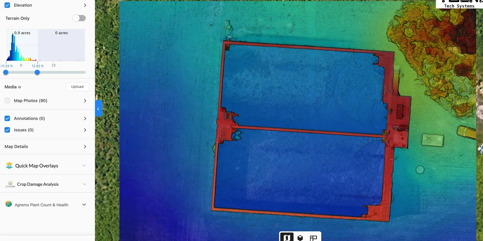
We use current drone technology to produce a land survey that identifies areas of concern before they become expensive. From elevation and drainage issues through to environmental constraints, an aerial survey gives land use planning a factual base to work from.
Output is matched to the decision being made — an elevation model where grading is the question, an orthomosaic where boundaries and coverage are, and plain annotated imagery where someone simply needs to see the site.